Reliable field data is the foundation of sound engineering. Before any design can begin, before any decision can
be made, an engineer must understand the ground. SETAC’s field specialists bring this discipline to every project
— conducting geotechnical investigations, topographic surveys, and geophysical assessments that give our
clients and design teams the accurate, verified data they need to proceed with confidence.
We deploy experienced geotechnical engineers with full laboratory support, licensed geospatial surveyors
equipped with GPS and total station technology, and geophysics specialists trained in resistivity and seismic
methods. Our deliverables — detailed technical reports, GIS-mapped outputs, and engineering
recommendations — are produced to international standards and accepted by all major development
organisation clients.
Why Choose SETAC for Field Studies?

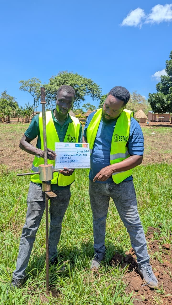
 Geotechnical investigations: test pits, borehole drilling, soil sampling, CBR testing
 All deliverables to UNICEF, UNOPS, and FAO technical standards