
Overview
Urban road infrastructure in Mogadishu is central to Somalia’s post-conflict
recovery. Reliable, well-drained roads reduce travel times, connect
communities to essential services, and support economic activity in the
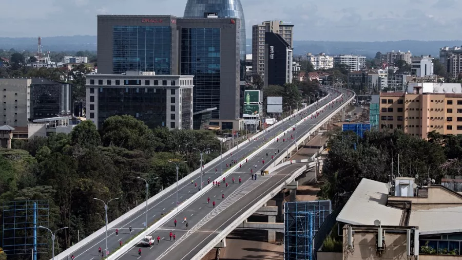
city’s growing districts. SETAC was commissioned by KULMIYE to deliver
full engineering consultancy services for the Jaala Siyaad Road — a 3.8
km, 8-metre-wide asphalt concrete road with integrated side drainage and
pedestrian sidewalks on both sides. This urban access road traverses one
of Mogadishu’s busiest neighbourhoods and required precise engineering
to ensure durability and long-term performance under heavy traffic loads.
SETAC conducted a comprehensive topographic survey including DTM
generation, cross-sections, and utility mapping to establish the engineering
baseline. A geotechnical investigation programme — including test pits,
boreholes, and CBR testing — informed the pavement design, ensuring
that the road structure was appropriate for the ground conditions. A
hydrological study and drainage design were completed to calculate peak
runoff and size culverts and side ditches accordingly. SETAC delivered all
technical documentation and supervised construction through to practical
completion, producing a durable, well-drained urban road that continues to
serve the Jaala Siyaad community.
THE CHALLENGE
Delivering road engineering works in Mogadishu requires coordination
across multiple stakeholders — municipal authorities, utilities, community
representatives, and security management structures. SETAC’s
long-standing in-country presence and established relationships with
Mogadishu’s municipal engineering environment ensured smooth
mobilisation, timely survey completion, and uninterrupted construction
supervision throughout the project.